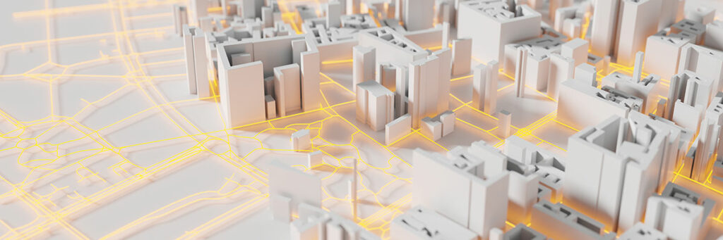
3D city models can aid in planning for 5G networks primarily in three ways. Firstly, they can help in identifying the best site for tower location. 5G networks require significantly more towers than other networks to propagate the signals. Thus, it is very important to optimize the number of towers required, still ensuring best network coverage. Accurate 3D city models can help in achieving this. Quality 3D city models can help in achieving good quality network coverage.
Secondly, 3D city models can help in identifying the existing city infrastructure, for instance, existing electric poles, which can be used for setting up the antennas.
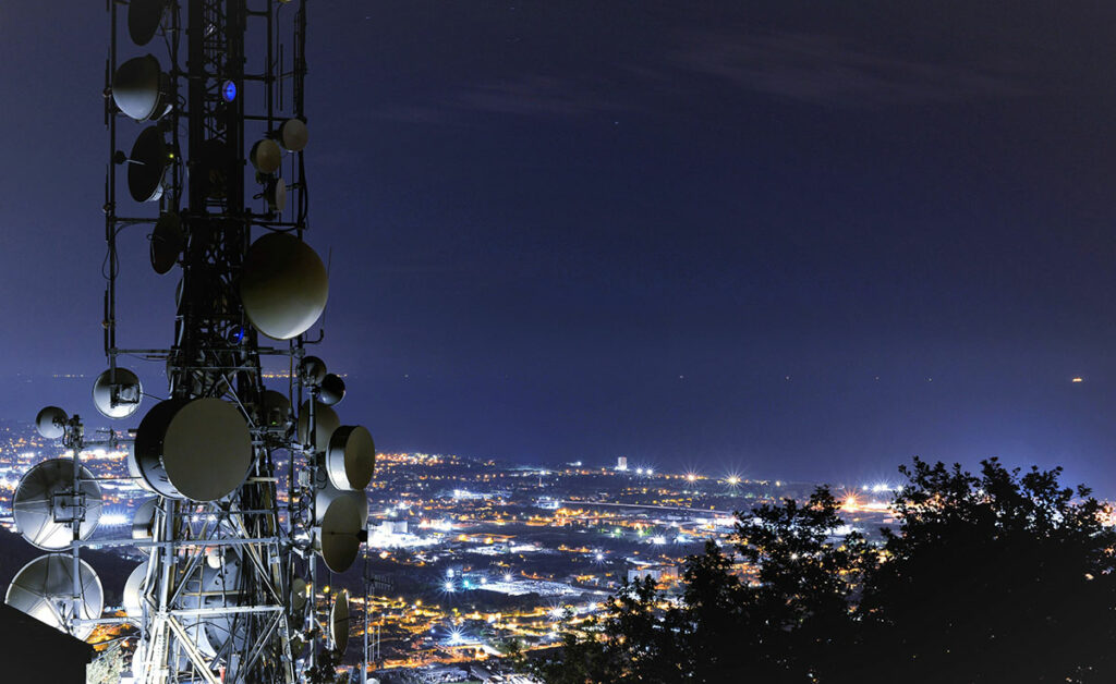
Thirdly, 3D technologies can help in modelling the existing telecom towers. This can help in identifying how much capacity of these towers is free for usage. Currently in India the tenancy of these towers is lesser, which can easily be increased. This can be achieved through 3D modelling of towers and having accurate information of tenancy.
Challenges spring from the source data itself. For having sub meter level accuracy in 3D city models, it is important to have quality source data like aerial imagery, LiDAR datasets etc. In India, because of the new geospatial policy, it is now possible to have high resolution datasets.
Availability of trained resources is another challenge. The process of collecting, processing and modelling the data requires highly skilled manpower and experience. Since the technology is yet to mature, skilled resources are not easily available.
Another big challenge is to handle the huge datasets. Challenges exist in storage, processing and analysis of data. Only companies which understand these challenges and are equipped with the right skillset to handle these can deliver high quality 3D city models.
For 5G rollout, telecom operators are in advanced stages of acquiring the technologies and licenses. Geospatial companies need to mature the processes and identify the right data models, specifications and accuracy standards that are suitable for 5G network planning. Magnasoft has set up the right workflows, standards and achieved maturity in the use of these technologies. Additionally, the tools used by telecom companies, the consuming technologies also need to mature. From delivery perspective, skill building of people can aid in achieving timely deliveries.
Magnasoft has been working in the 3D modelling space for 15+ years. We understand the nuances of development of high quality 3D city models. Using the experience we offer custom solutions for 5G network planning. We use a tailor-made data model for 5G networks that can help in optimal network planning and updating the networks. We are also helping the customers in continuously updating the 3D city models. As the city changes, consumption, coverage pattern etc. changes, accordingly, the telecom companies need updated city models, which we provide.
IoT has become popular in the last 10 years. We can naturally integrate IoT & geospatial for better outcomes. For instance, IoT sensors can be used inside indoor building models of malls or airports. The combination of IoT and Geospatial also helps in better monitoring of assets. Airports are almost like a city by infrastructure; you have restaurants, shops, places for rest for passengers etc. If you have 3D indoor dataset for an airport and have integrated IoT sensors, you can efficiently manage airport operations and improve user experience.
In case of 5G networks, IoT devices are used for monitoring the telecom infrastructure and maintaining them. They continuously keep transmitting information about the health of assets and thus aid in quick resolve of issues and providing better services. They can help in early identification of equipment malfunction, power outages etc. and result in immediate action.
Magnasoft has been in the 3D technology space for long, helping several industries achieve excellence in their deliveries. We have been largely enabling the utilities industry, especially in power distribution and transmission and that remains a focus area. Second is the AEC industry where we are helping the engineering and construction companies create BIM models and indoor models. Thirdly, we are focused towards helping the airports in lifecycle management. We are looking at providing high quality datasets to help the airports managers manage the assets and achieve operational excellence.