
Digital maps have revolutionized the way we navigate. Today, maps have become much more than wayfinding solutions; they include anything from immersive virtual reality experiences to real-time data integrations. According to Allied Market Research, the global digital map market is expected to reach $3.67 billion by 2023, growing at a CAGR of 12.6% from 2017 to 2023.
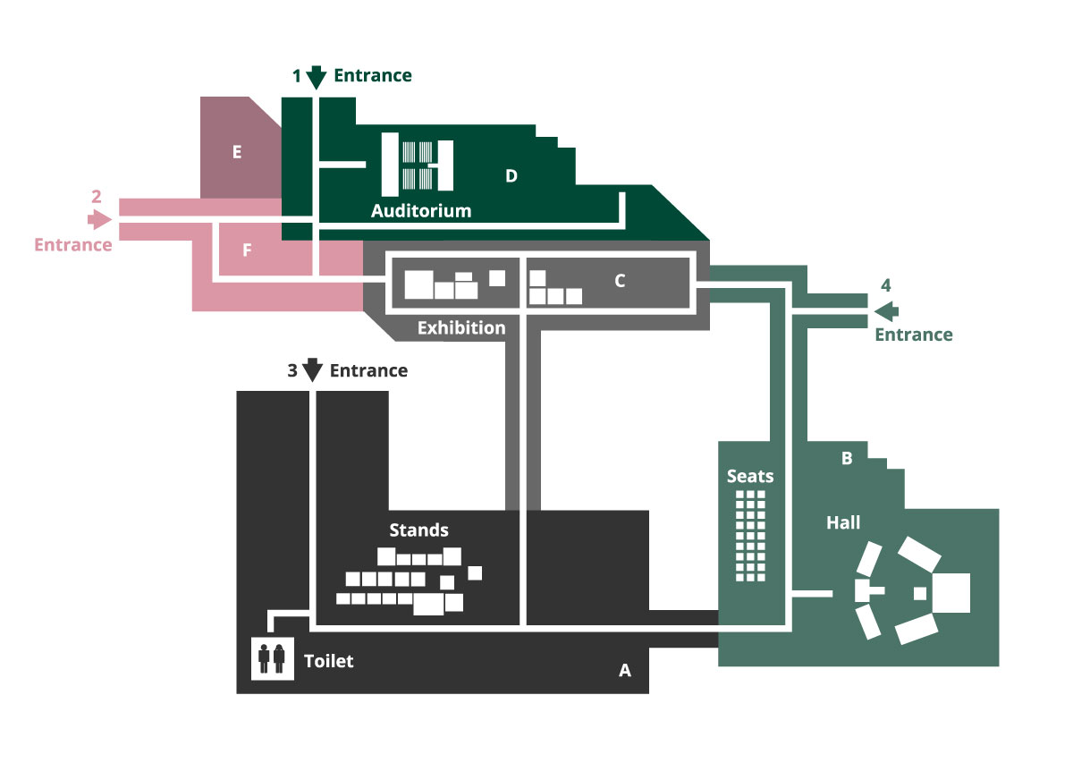
While use of maps for outdoor navigation has become a norm, the trend of using digital maps for more effective indoor navigation is picking up. Large shopping complexes are largely inclining towards adoption of indoor mapping solutions since these maps not only provide enhanced user experience but also ensure more safety.
Just like large shopping areas, university and college campuses are often large and confusing, and have both indoor and outdoor components. Digital interactive maps of such campuses can largely help students, faculty members, and visitors while moving around in the campus. With the ‘power of where’ (provided by campus maps) in their hands, students can enjoy a stress-free experience at the campus when it comes to locating an upcoming class or a nearby food vendor.

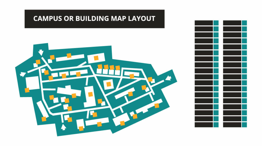
Campus maps provide an interactive display of the grounds of schools, universities, hospitals, manufacturing facilities, apartment complexes, parks, and more. They become an easy tool for students, visitors, employees, or residents to easily navigate the area. For these maps to be actually effective, high level of precision is a given requirement.
At Magnasoft, we have successfully designed highly accurate campus maps for a large variety of campuses from universities to hospitals. Our expert team works closely with the stakeholders to ensure that the map is accurately customized as per the requirements. Our work doesn’t stop at just creating the maps; the team works with you to ensure that the maps stay updated with the latest information at all times.
For a campus map to evolve as an efficient visitor management tool, the map design process must keep in view the following factors:
Clarity and accessibility of information
Not only do the maps need to be accurate but they must also consider the requirements of people with special needs such as the visually impaired or people who need a wheelchair to move around. The campus map must clearly detail where steps or wheelchair access are located, along with the accessible entrances.
3D buildings have the potential to take orientation and wayfinding to new levels. Specific illustrated buildings and Points of Interest can make the mundane campus maps interesting, enabling the visitors to engage with the maps as well.
It is also a good cartographic practice to use different colors to differentiate between different campuses or facilities within a single site, for example clearly marking Residential Halls from Class buildings.

Importance of size and scale
The map content should be legible in all sizes. It should allow flexibility in displaying and hiding information. For instance, the information the map holds for pedestrians may not be of much use to drivers, so they should be able to hide that information. The mapmaker should strive for creating a single map which can be repurposed for varied groups.
Stakeholder involvement
A campus map is a very personalized product. Thus, it is necessary to involve the stakeholders from the very beginning of the process. The suggestions and feedbacks must be implemented to reestablish the fact that a campus map is a way to reinforce the identity of the campus.
Consider adding value
A robust map should not only carve out the routes within the campus with precision but also consider making additions that will make the life of the users easier. For instance, it is a good idea to include details about local transport facilities, local town centres, rail stations and supermarkets to make things easier for people visiting the campus. Making the map AR/VR ready is also a great way of enhancing the user experience.
Magnasoft’s interactive campus maps allow students, faculty members and visitors to easily locate buildings and the rooms and services within them. Our mapping capabilities are not limited to universities and schools but have stretched over to large complexes like hospitals, shopping malls etc.
All large campuses and multi-building facilities must consider strategically placing signs and creating accessible precise digital maps of their campuses. A well created campus map serves as a visitor management tool, helping visitors to reach their destination effortlessly. An indoor campus map can provide the visitors, staff, students, and anyone else an enhanced campus experience. Along providing useful information, it can allow the users to engage with Points of Interest. Campus maps can also significantly aid in public safety and emergency management. They can help the staff in training and incident planning.
The benefits of having detailed digital campus maps are many, however, for effective outcomes, it is necessary to choose the right partner for the purpose of creation and updation of these maps.
Also Read: Why 4D BIM?