Historically, indoor mapping was limited to AEC planning and construction. However, with advancements in technology, the indoor mapping space is gaining momentum. For owners of assets, the use of indoor maps is spreading from ‘design and build’ to ‘operations and maintenance,’ and we see an increasing adoption for consumer convenience as well. Be it navigation, wayfinding, last mile connectivity or quicker actions in case of emergencies within large areas, indoor maps are becoming the way to go.
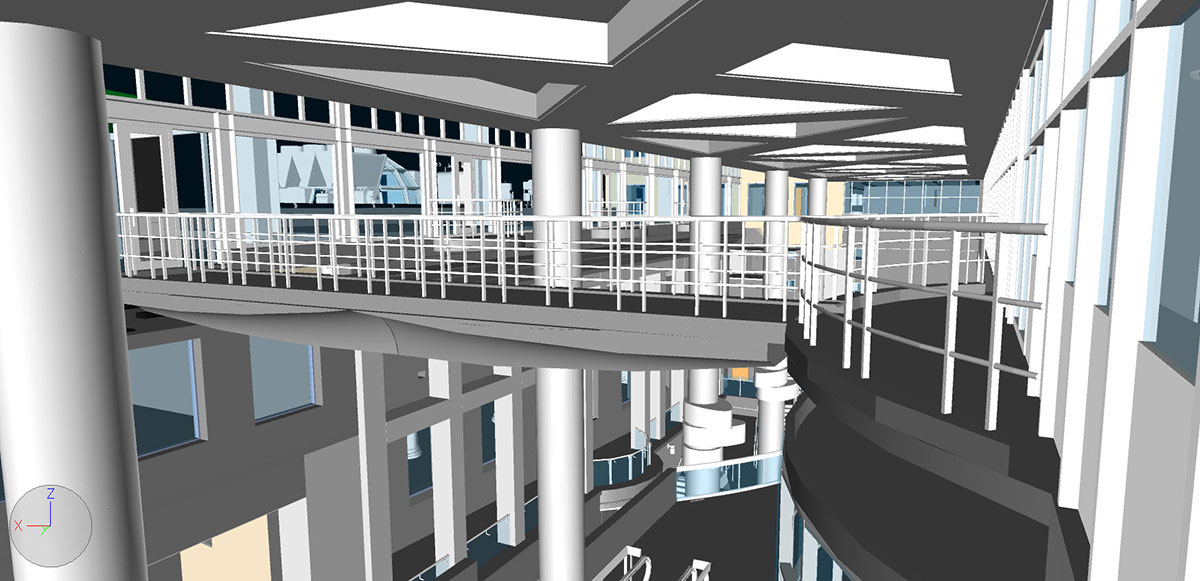
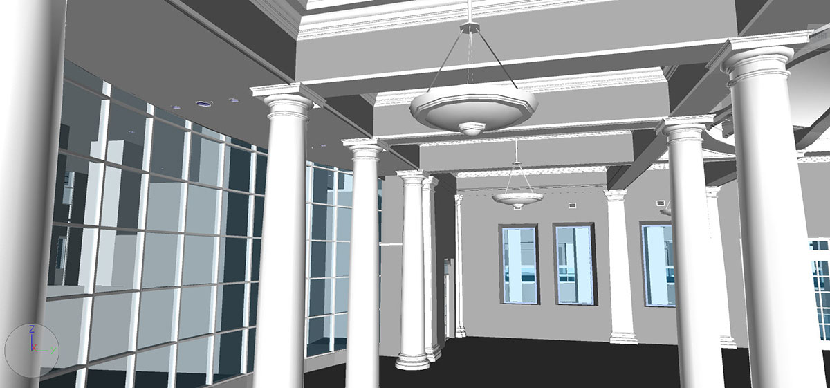
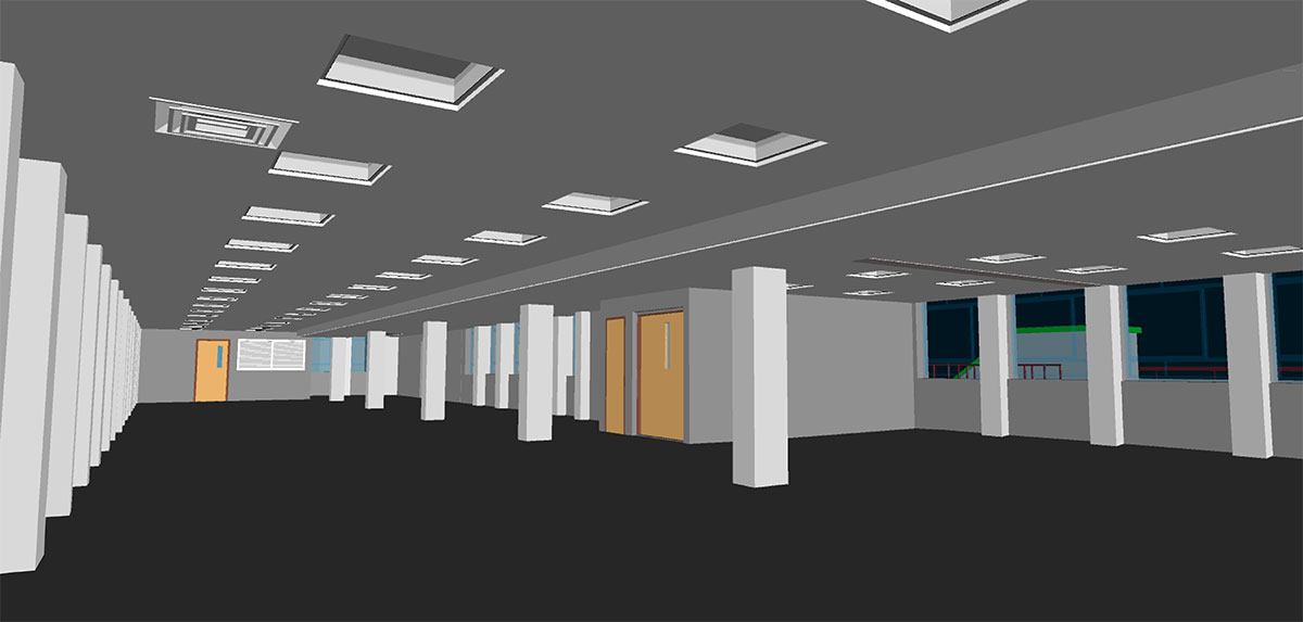
While 2D indoor maps serve the purpose of providing accurate navigation, 3D user-interfaces are better equipped to give a precise and appealing picture of the facility. Consequently, the 3D indoor mapping trend is gaining popularity. To facilitate the process, the standards and formats used for creating the maps are also getting refined. The purpose remains to achieve better interoperability and higher accuracy.
Indoor maps are usually generated from floor diagrams or building or site plans or point clouds acquired by 3D laser scanners. Based on the input data, different applications create indoor digital maps in different file formats. The wide range of data formats hinders data sharing, integration and re-use. The process of converting or re-creating map data from an incompatible format for an application is slow and expensive, and the resulting map may also suffer data loss. To make use of indoor maps more ubiquitous, the creation and sharing process must be made easier and seamless. The industry depends on a data cycle, beginning from generation of indoor map data to the use of that data. This cycle can get blocked due to use of too many data formats and resulting incompatibility issues. So, the industry needs to consider, “Which data format could improve indoor map data file compatibility?” And work towards finding a potential solution.
Following its penchant for innovation, Apple Maps has developed its own Indoor Mapping Data Format (IMDF), which has been adopted as a community standard for indoor positioning services. IMDF provides a generalized, yet comprehensive model for any indoor location, providing a basis for orientation, navigation and discovery. It conforms to RFC 7946. This ensures compatibility and transferability of the data. IMDF is lightweight, mobile friendly, and can be rendered on any device, OS, or browser. The good news is that the Open Geospatial Consortium has accepted IMDF as a community standard. IMDF enables a venue, organization or industry to create fully customized indoor maps using industry-standard tools. The maps use existing Wi-Fi networks to enable GPS-level location accuracy such that visitors can navigate interior spaces using their smartphones. With IMDF as a part of the OGC Standards Baseline, the industry can expect deeper integration with other geospatial standards. This development is likely to enable the mapmakers address the location needs of users everywhere with more precision.
With over two decades of experience in mapping, Magnasoft is well-equipped to meet your 3D indoor mapping needs. If you want your maps to accurately show the ‘what’ and ‘where’ of everything indoors, our expert team is here to help you realize the goal with utmost efficiency. Whether you are looking at developing indoor maps for plant maintenance and monitoring, facilities planning, navigation at malls, universities, hospitals, campuses or enhancing the last mile navigation experience of users, we are confident of developing the perfect solution for you.
Our deep domain knowledge has enabled us to successfully complete over 5,000 projects in indoor mapping of airports, campuses, manufacturing and processing plants. Working closely with IoT manufacturers, our experience helps us to better understand your business needs and provide the best possible solution to your business problem.