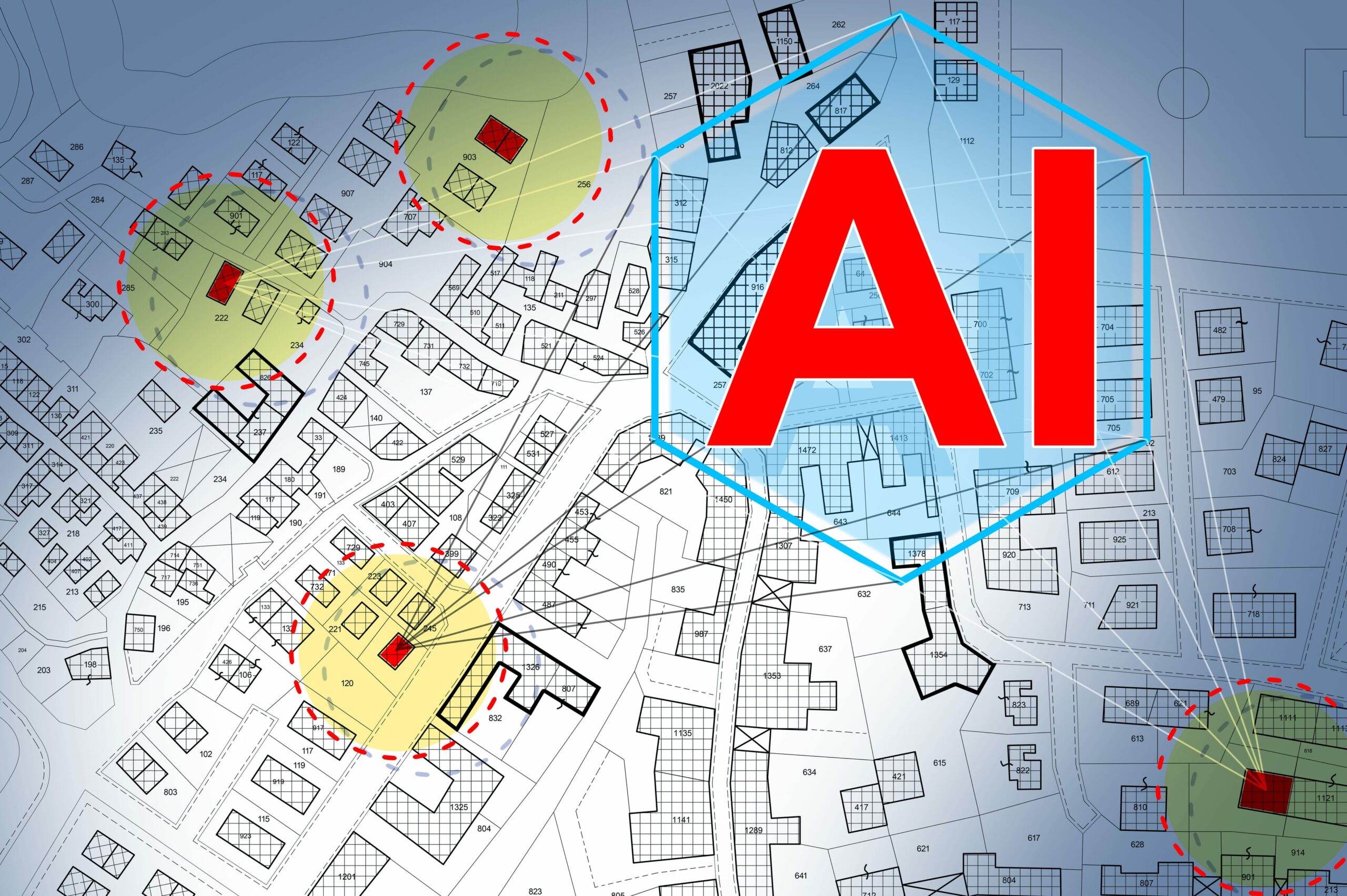
The intersection of Geospatial Intelligence (GEOINT) and Artificial Intelligence (AI) marks a pivotal evolution in how we collect, analyze, and leverage geographic data to make informed decisions. GEOINT, traditionally focused on mapping, satellite imagery, and spatial analysis, has been a cornerstone in urban planning, defense, and environmental monitoring. On the other hand, AI, with its ability to process and analyze vast amounts of data at unprecedented speeds, offers transformative potential across various sectors.
The fusion of GEOINT with AI technologies like machine learning, deep learning, and computer vision is not just a game-changer; it introduces a complex twist to the capabilities and challenges in the field. This integration promises enhanced precision, predictive analytics, and automation in data processing and interpretation, opening new avenues for innovation. However, it also brings to the forefront considerations of data privacy, security, and ethical use, alongside the technical complexities involved.
This blog post delves into the synergy between the two domains; we will examine how AI is revolutionizing GEOINT applications, the challenges this integration faces, and the future of this dynamic field. Through this exploration, we aim to uncover whether the convergence of geospatial intelligence and artificial intelligence is indeed a game-changer or presents a complex twist that needs careful navigation.
The integration of AI with geospatial intelligence is revolutionizing the field, offering enhanced capabilities for data analysis and interpretation. AI algorithms, particularly machine learning, and deep learning, are adept at processing the vast and complex datasets characteristic of GEOINT, including satellite imagery, aerial photos, and sensor data.
One of the key benefits of this integration is the ability to perform predictive analytics, where AI models predict future scenarios based on historical & temporal geospatial data. This is invaluable in areas like disaster management, where predicting the path of hurricanes or the spread of wildfires can save lives and resources. Another benefit is automation; AI can automate routine tasks such as image classification and pattern recognition, allowing analysts to focus on more complex and strategic tasks.
Case studies across various applications highlight the impact of AI in GEOINT. In military and defense, AI-enhanced GEOINT is used for surveillance, reconnaissance, and mission planning, offering real-time insights and predictive intelligence. In urban planning and development, AI-driven GEOINT supports infrastructure development, land use planning, and environmental monitoring, facilitating sustainable and efficient development.
Efficiency in Data Processing: In an unprecedented leap, AI has brought about a seismic shift in how large datasets, including intricate satellite imagery and GIS data, are processed. The speed and accuracy with which AI algorithms work surpass human capabilities, marking a new era in data analysis. This rapid processing is not just a matter of efficiency; it’s a cornerstone for applications where every second counts, such as environmental monitoring and national security.
Advanced Pattern Recognition: The prowess of AI, especially in deep learning models, lies in its extraordinary ability to detect patterns and anomalies that might elude human analysis. From subtle environmental changes to complex urban dynamics, AI unravels data layers, presenting insights critical for informed decision-making. This advanced pattern recognition opens new frontiers in understanding and interpreting our world.
Predictive Analytics: AI’s predictive capabilities are a linchpin in strategic planning across various sectors. By analyzing historical geospatial data, AI models offer invaluable forecasts for anticipating future trends and scenarios. This foresight, ranging from meteorological predictions to urban development planning, enables proactive and preemptive strategies, essential in a world where change is the only constant.
Automation of Routine Tasks: The automation of routine data analysis tasks by AI marks a significant shift in the role of human analysts. Free from the confines of mundane tasks, analysts can now focus on more complex, strategic elements of GEOINT. This shift enhances productivity and fosters a more creative and insightful approach to data interpretation.
Real-Time Analysis: In the dynamic arena of disaster response or military operations, the role of AI in facilitating real-time analysis of geospatial data is indispensable. The ability to process and interpret data instantaneously allows for swift, informed decisions when time is of the essence. This capability is not just about speed; it’s about making the right call at the right time, potentially saving lives and resources.
While integrating AI into GEOINT brings numerous benefits, it has its complexities and challenges.
1. Quality of Data: The effectiveness of AI heavily depends on the quality and diversity of the data fed into it. Inconsistent, outdated, or biased data can lead to inaccurate or misleading conclusions.
2. Interpretational Nuances: AI might excel in identifying patterns, but understanding the context and implications of these patterns often requires human expertise. The ‘why’ behind the ‘what’ still largely rests with human analysts.
3. Ethical and Privacy Concerns: Using AI in geospatial analysis raises significant questions about surveillance and privacy. Balancing technological advancement with ethical considerations is a tightrope walk.
4. Over-reliance on Technology: There’s a risk of becoming overly dependent on AI systems, potentially degrading human analytical skills.
5. Inherent Biases: AI systems are only as unbiased as the data they are trained on. Unchecked, these biases can perpetuate stereotypes and lead to skewed analyses.
The future of AI in geospatial intelligence is promising, with emerging trends and technologies set to transform the field further. One such trend is the increasing use of edge computing, where data processing occurs on the device collecting the data, reducing latency, and enabling real-time GEOINT applications. Another is the development of more sophisticated AI models that can handle the complexity and variability of geospatial data more effectively.
Advancements in satellite technology, such as the deployment of small satellites (CubeSats) and constellations offering more frequent and detailed coverage of the Earth, will provide even richer datasets for AI analysis. Integrating AI with these technologies will enhance our ability to monitor environmental changes, manage natural resources, and respond to global challenges like climate change and humanitarian crises.
As we embrace the integration of AI in geospatial intelligence, it’s crucial to recognize that this is more than just a technological upgrade; it’s a paradigm shift. The benefits are immense, but so is the responsibility to use this technology judiciously. Balancing the power of AI with ethical considerations, data accuracy, and the indispensable human element is critical to harnessing its full potential. The journey of AI in GEOINT is not just about making intelligence more intelligent; it’s about reshaping our understanding of the world in ways we are just beginning to comprehend.
As we map out this future, the key lies in striking a harmony between the brilliance of artificial intelligence and the irreplaceable depth of human insight. Magnasoft stands at the forefront of this exciting frontier, committed to ensuring that the fusion of GEOINT and AI remains a force for good. With our innovative solutions and expertise, we are dedicated to harnessing the potential of AI in geospatial intelligence to create sustainable, impactful outcomes.
Join us on this transformative journey. Discover how Magnasoft’s cutting-edge technologies and services can empower your organization to leverage the full potential of AI-enhanced geospatial intelligence. Together, we can shape a future where technology and human insight converge to create a better, more informed world.
Contact Magnasoft today to explore how we can support your geospatial intelligence initiatives with the power of artificial intelligence.