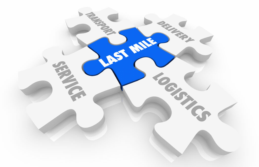
The digital era is constantly evolving, but the “last mile” remains a significant hurdle. While commonplace in logistics, this term has extended to various sectors, reflecting the challenge of making that final connection, be it a product delivery or a digital signal. As we explore this intricate challenge, we’ll explore how geospatial services craft innovative solutions across industries.
Understanding “Last Mile” in its Full Spectrum
The term “last mile” historically represented the end of a service or the end of a journey. More than just a delivery phase, the critical nexus weaves vast networks with their individual end-users. Whether it’s the delivery of a package to a precise doorstep or the digital signal’s reach to a solitary device, the last mile acts as the definitive touchpoint, bringing tangible value and meaning to every prior effort.
The Final Frontier: Challenges of the Last Mile
Imagine running a marathon and stumbling mere meters from the finish line. That’s the essence of the last mile challenge. The obstacles? Varied and many:
The digital era has expedited the demand for efficient and robust communication networks worldwide. Although there has been substantial progress in connecting remote areas, the challenge of ‘last mile’ connectivity persists. This term denotes the final leg of connecting individual homes and businesses to the main telecommunications network. It represents a crucial yet challenging aspect of the network, directly influencing the user experience.
Impacted Sectors and Geospatial’s Guiding Hand:
No industry remains untouched by the last mile. E-commerce giants, telecommunication providers, healthcare organizations, logistics companies, urban planners, and energy utilities grapple with their own version of this challenge.
Enter Geospatial Intelligence. A technology that merges spatial context with data, acting as a reliable compass for industries navigating the intricate challenges of the last mile. Consider e-commerce, where geospatial can offer insights into optimal delivery routes by analyzing real-time data. In telecommunications, it can pinpoint underserved areas, ensuring network extensions. Healthcare providers can strategically locate clinics, and urban planners can envision future growth and infrastructure needs.
Geospatial intelligence (GI) offers valuable insights by merging data with spatial context, ensuring that industries can make more informed, precise decisions. Let’s delve into how GI can bolster the “last mile” for several key sectors:
1. Telecommunications:
Network Expansion: Identify underserved or unserved areas, ensuring that connectivity extends to the last user.
Infrastructure Maintenance: Mapping infrastructure like towers, cables, and substations can help in regular maintenance and quicker fault detection.
Signal Propagation Analysis: GIS tools can model how signals propagate, helping optimize tower placements and minimize dead zones.
2. Logistics and Transportation:
Route Optimization: Determining the quickest, most fuel-efficient routes, considering factors like road conditions, traffic, and legal restrictions.
Fleet Monitoring: Real-time tracking of vehicles, ensuring timely deliveries and safety.
Demand Forecasting: Predicting areas of high demand for transportation services based on spatial data analytics.
3. Urban Planning and Development:
Infrastructure Planning: Visualize urban growth patterns and predict future needs for infrastructure.
Disaster Management: By mapping floodplains, fault lines, and other vulnerable areas, urban planners can prepare and respond better to disasters.
Land Use Analysis: Ensure optimal utilization of urban spaces by analyzing current land use patterns and projecting future needs.
4. Energy and Utilities:
Grid Optimization: Ensuring that power grids reach even the remotest of users, optimizing transmission paths.
Resource Exploration: Help identify potential sites for renewable energy or raw material extraction.
Outage Management: Spatially track outages and prioritize repair schedules.
5. Supply Chain:
Efficient Distribution: Geospatial enhances distribution by optimizing routes and warehouse locations.
Real-time Monitoring: Enables tracking of goods in transit, minimizing delays and losses.
Inventory Management: Utilizes historical data and market trends for precise inventory predictions.
Risk Management: Identifies and mitigates potential risks, ensuring a resilient supply chain.
6. E-commerce and Retail:
Optimized Delivery Routes: Geospatial can analyze traffic patterns, road closures, and other factors to determine the most efficient delivery routes.
Customer Insights: Businesses can tailor marketing efforts and inventory stocking by mapping customer demographics and purchasing behaviors.
Facility Location Analysis: Determining optimal locations for warehouses or stores based on population density, competitor locations, and infrastructure.
7. Healthcare:
Emergency Response: GI can optimize routes for ambulances, ensuring the quickest response times during emergencies.
Healthcare Facility Accessibility: Analyze population demographics to determine areas underserved by healthcare facilities.
Disease Mapping: Track and predict the spread of diseases, enabling timely interventions.
Geospatial Intelligence provides a powerful lens through which industries can view their challenges, especially in the context of the “last mile.” Its capability to transform raw data into actionable spatial insights ensures that businesses aren’t just efficient but also resilient, adaptive, and poised for growth. As the digital landscape evolves, the confluence of Geospatial Intelligence with other technologies promises even more profound transformations across industries.
Notable use cases further illuminate the potential of geospatial technology:
Geospatial services have proven instrumental in enhancing last-mile connectivity across many industries. Here are some concrete use cases illustrating how various sectors are leveraging geospatial tools and methodologies to address their unique last-mile challenges:
Telecommunications:
Use Case: In Africa, with vast rural expanses; telecom providers utilized geospatial analytics to identify areas with poor or no cellular coverage. By plotting existing cell towers and cross-referencing with population density maps, they could pinpoint optimal locations for new towers.
Outcome: This spatially informed strategy enabled providers to drastically improve coverage in remote areas, offering connectivity to previously isolated communities.
E-commerce & Logistics:
Use Case: In Southeast Asian megacities, e-commerce giants faced delivery inefficiencies due to complex urban layouts and frequent traffic congestion. Leveraging geospatial data, these companies developed dynamic routing algorithms that considered real-time traffic data, road closures, and other impediments.
Outcome: The result was a significant reduction in delivery times, ensuring faster, more reliable service to the end customer.
Healthcare & Medicine Distribution:
Use Case: During the COVID-19 pandemic, certain regions in South America faced challenges in vaccine distribution due to their topographical complexity. Health agencies mapped out hard-to-reach communities using geospatial intelligence, devising routes incorporating various transport modes, from trucks to boats.
Outcome: This ensured that vaccines reached remote and vulnerable populations, showcasing the pivotal role of geospatial planning in global health initiatives.
Public Transportation:
Use Case: In European urban centers, public transport agencies used geospatial tools to optimize bus and tram routes. By analyzing commuter density, work centers, and existing transport lines, they identified areas underserved by public transport.
Outcome: New routes and timetables were developed, enhancing connectivity for urban residents and reducing their reliance on private vehicles.
Autonomous Vehicles & Drones:
Use Case: In the US, companies piloting autonomous delivery drones employed geospatial mapping to devise flight paths. These paths accounted for urban obstacles, no-fly zones, and potential weather disruptions.
Outcome: Packages were delivered swiftly and safely, showcasing a new horizon in last-mile delivery solutions.
Utility Provision:
Use Case: In regions of Australia prone to bushfires, utility companies used GIS to plot power lines, transformers, and other infrastructure. Cross-referencing this with data on vegetation growth and fire risk, they could prioritize maintenance tasks.
Outcome: This proactive approach reduced power outages and minimized fire risks associated with electrical failures.
Horizons of Tomorrow: The Technological Vanguard
The realm of technology is ever-fluid, constantly reshaping our world. With the rise of Augmented Reality, Virtual Reality, and the Internet of Things (IoT), the framework of last-mile connectivity is undergoing a metamorphosis. Imagine field agents equipped with AR headsets accessing geospatial overlays in real-time. Envision autonomous vehicles, plotting paths using VR-rendered geospatial terrains. We’re on the cusp of a transformative era.
Charting the Course: Melding Future Tech with Geospatial Brilliance
The digital tapestry of the future, a confluence of emerging tech and geospatial intelligence, promises more than just connectivity. In its quest to optimize the last mile, geospatial technology addresses present-day challenges and lays the groundwork for future innovations. As we transition to an era where digital and physical realms seamlessly merge, geospatial intelligence becomes our guiding light. It ensures that the “last mile” is not a roadblock but a gateway to endless possibilities.
Ready to Redefine Your ‘Last Mile’?
Please speak to our geospatial experts today and set forth on a transformative journey.