
Every decision in the modern world has a location component. Where cities expand, where diseases spread, where crops thrive, where supply chains falter- each question has an answer rooted in geography. Geospatial data and spatial analysis bring these answers into focus by integrating location-based information with computational and statistical models. Geospatial data and spatial analysis […]
Read article >
Fiber networks have become the backbone of modern digital economies. Across the US and Europe, demand is rising at an unprecedented pace. Cloud workloads, IoT devices, edge compute, and 5G densification all converge on one truth: without fiber, nothing works. Operators know this. Billions are being invested to meet coverage and speed targets. According to […]
Read article >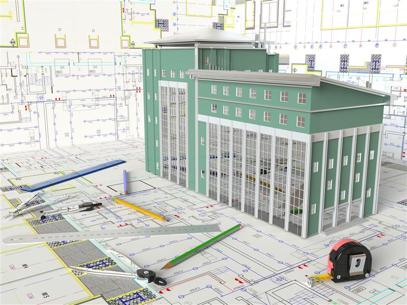
The construction industry has always been a landscape of complexity, where multiple disciplines, countless data points, and tight schedules converge to deliver infrastructure that serves society for decades. Historically, this landscape was plagued by inefficiencies, architects drew their plans, engineers overlaid structural systems, contractors attempted to interpret layered drawings, and owners often received incomplete or […]
Read article >
Surveying and geospatial intelligence have always been about turning raw data into decisions. Aerial photographs, LiDAR point clouds, and satellite images may appear visually impressive, but without interpretation, they remain nothing more than unprocessed datasets, static collections of pixels and points. What gives these inputs value is feature extraction, the process of isolating meaningful objects […]
Read article >
A Geographic Information System (GIS) is an integrated framework for capturing, storing, managing, analyzing, and visualizing location-based data. By linking geographic coordinates with descriptive attributes, GIS provides an unparalleled ability to observe patterns, relationships, and trends in both natural and built environments. This capability is transforming decision-making across sectors such as telecom, urban planning, disaster […]
Read article >
Building Information Modeling (BIM) has fundamentally reshaped the Architecture, Engineering, and Construction (AEC) industry. For years, it’s been the bedrock of design optimization, clash detection, and construction sequencing, transforming static blueprints into integrated, data-rich 3D models. Yet, for all its power during a building’s creation, a vast frontier of its value—the operational phase—has largely remained […]
Read article >
As telecom operators around the globe navigate rising demand for high-speed connectivity, increasing infrastructure complexity, and shrinking operational margins, new technologies are helping the industry rewrite the rules. Telecom operators today are leveraging generative AI to solve some of the most complex challenges in network engineering. These applications go far beyond automation; they reflect a […]
Read article >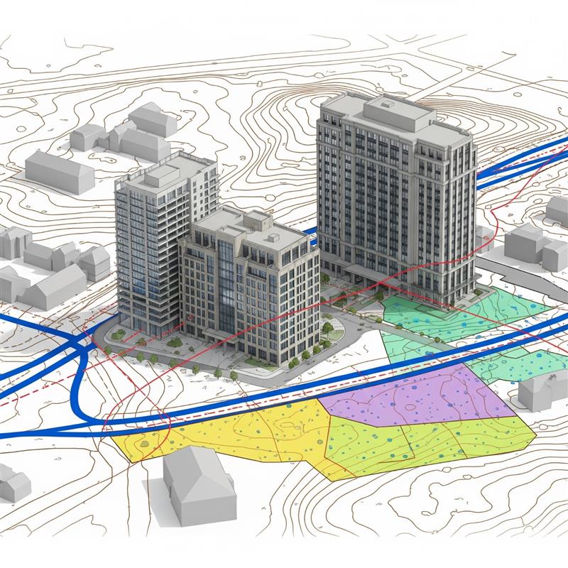
The global Architecture, Engineering, and Construction (AEC) industry is undergoing a significant paradigm shift, driven by the increasing complexity of projects, stringent sustainability mandates, and the relentless pursuit of operational efficiencies. Historically, Building Information Modeling (BIM) has advanced project delivery at the asset level, while Geographic Information Systems (GIS) have provided critical spatial context at […]
Read article >