The maturation of urban digital twins over the coming decades represents a paradigm shift from static 3D visualization to dynamic, predictive, and interactive cyber-physical systems. The realization of this vision is contingent not merely on advancements in computational power and sensor technology, but on solving a tripartite challenge: establishing robust governance architectures, ensuring longitudinal data […]
Read article >
Geographic Information Systems (GIS) have become integral to the telecommunications industry, enabling operators to plan, design, build, and manage networks at scale. From strategic site selection to predictive demand modelling, GIS provides the spatial intelligence telecom providers need to accelerate deployment, reduce costs, and enhance service quality. The GIS market in the telecom sector is […]
Read article >
Imagine trying to settle a property dispute using a hand-drawn map from 1973, scribbled in pencil, with vague lines and fading labels. Land is the foundation of everything—homes, infrastructure, agriculture, investment, and identity. But in too many parts of the world, the systems that govern land are stuck in the past. Faded maps, handwritten field […]
Read article >
As the need to address climate change grows more urgent, both businesses and governments are increasingly relying on geospatial technologies to guide data-driven decisions related to sustainability, urban planning, and regulatory compliance. The first episode of Geoawesome’s Problem Solved podcast features hosts Muthu and Aleks, who discuss how geospatial solutions are transforming environmental, social, and […]
Read article >
Imagine constructing a highway without knowing the terrain, planning a city without understanding flood zones, or rolling out telecom infrastructure without mapping elevation and slope. The result? Costly delays, environmental risks, and inefficiencies across the board. Progress isn’t just about skyscrapers, rail lines, or energy grids—it’s about smart, terrain-informed planning. And behind every well-executed project […]
Read article >
Imagine walking through a virtual replica of a century-old cathedral, making real-time design adjustments with just a few clicks. No guesswork. No delays. This is the reality we are living in today, powered by AI-driven Scan-to-BIM technology. As the architecture and construction industries evolve, precision, efficiency, and creativity are merging like never before. For years, […]
Read article >
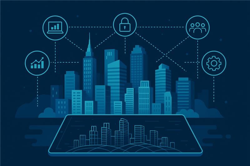
Imagine a city where every road, building, and park is mapped with precision—where planners predict congestion, architects visualize projects before construction, and city leaders simulate disaster responses in real time. This isn’t the future; it’s happening now. With cities growing fast, traffic, pollution, and infrastructure strain are mounting. 3D City Modeling is the absolute game-changer, […]
Read article >
Imagine planning a massive skyscraper in the heart of a bustling city without the aid of modern technology. Every detail would be drawn by hand, requiring constant revisions, extensive documentation, and back-and-forth communication that could delay the project for months or even years. The construction industry has historically struggled with inefficiencies, cost overruns, and project […]
Read article >